Travel Guide of Lago di Sorapis in Italy by Influencers and Travelers
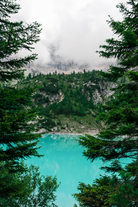
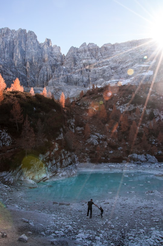
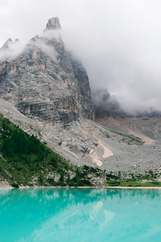
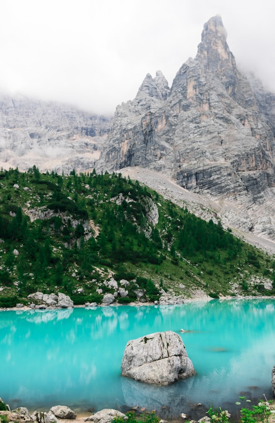
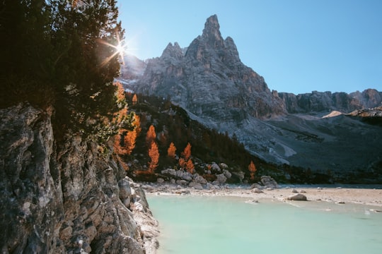
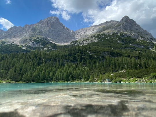
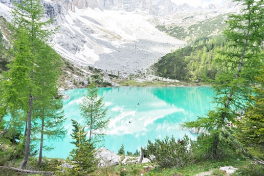
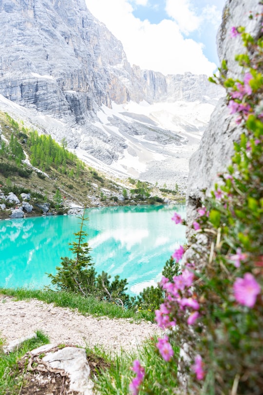
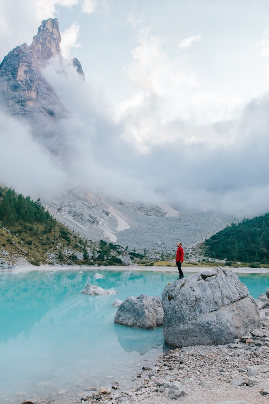
Lago di Sorapiss is a lake in the mountain range Sorapiss in the Dolomites, province of Belluno, c. 12 km away from Cortina d'Ampezzo. The lake has an altitude of 1,925 metres above sea level. The strong turquoise color is dust from the glacier. The lake can only be reached by foot or by helicoper. The hiking trail has a length of 10.5 km and takes 1.5 hours one way starting from Passo tre Croci.
Download the Travel Map of Italy on Google Maps here
Pictures and Stories of Lago di Sorapis from Influencers
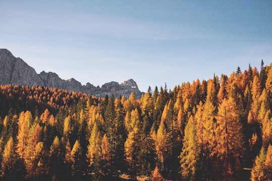
13 pictures of Lago di Sorapis from Federica Galli, Henry Be, Michel Catalisano and other travelers
- Check out more of my travels at http://www.instagram.com/simonmigaj ...click to read more
- Experienced by @Simon Migaj | ©Unsplash
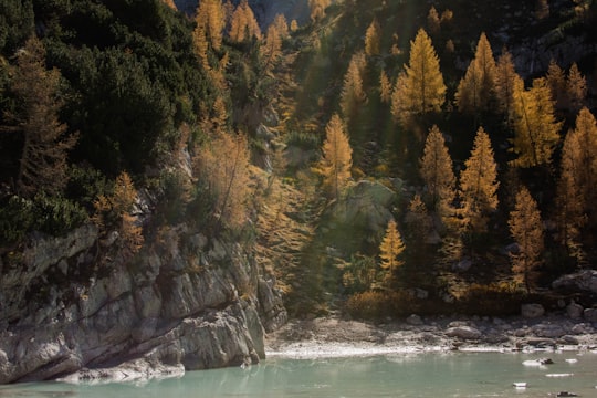
- Photowalk to Lago di Sorapis ...click to read more
- Experienced by @Vanessa Deidda | ©Unsplash
Plan your trip in Lago di Sorapis with AI 🤖 🗺
Roadtrips.ai is a AI powered trip planner that you can use to generate a customized trip itinerary for any destination in Italy in just one clickJust write your activities preferences, budget and number of days travelling and our artificial intelligence will do the rest for you
👉 Use the AI Trip Planner
Book your Travel Experience at Lago di Sorapis
Discover the best tours and activities around Lago di Sorapis, Italy and book your travel experience today with our booking partners
Map of Lago di Sorapis
View Lago di Sorapis on a map
Download On Google Maps 🗺️📲
More Travel spots to explore around Lago di Sorapis
Click on the pictures to learn more about the places and to get directions
Discover more travel spots to explore around Lago di Sorapis
🌲 Nature reserve spots ⛰️ Hill station spots ⛰️ Cliff spots ❄️ Glacial lake spots ⛰️ Mountain range spotsLearn More about Lago di Sorapis
Two most important things to know about the Sorapis Lake route are: one, it is endlessly beautiful, scenic and entertaining. And two, it is extremely popular. Hence the conclusion: to enjoy it as it deserves, start it as soon as possible to avoid rush hour and, consequently, crowds. #Clarification: in Italian it is Lago di Sorapis. In English it is Lago Sorapis as well as Lago de Sorapis. Choose the name that is easiest for you to remember. Another important point: you may have heard that the Lake Sorapis hike is not suitable for people with vertigo. Well, it depends a lot on how much vertigo you have. On the more difficult parts of the route you will find handrails and on rougher terrain - stairs and walkways to make progression easier. Anyway, vertigo is a very personal thing, so you can judge for yourself. Lake Sorapis Route Why is the Lake Sorapis hike so popular? It is not very easy or short. Many people say that it is a vertigo-inducing and dangerous route. It is not a route to take refuge from the crowds of people in the Dolomites. And yet it is one of the most popular hiking routes in northern Italy. What is its secret? I think there are two. First, Lake Sorapis is a marvel: turquoise waters, surrounded by forests and peaks whitened by dolomite stone and with many secluded and enchanting nooks and crannies. And the second reason for its success is the access road. It's quite an adventure, with handrails, cliffs, walkways, breathtaking views and surprises around almost every bend. Where is Lake Sorapis? It is located in the Dolomites d'Ampezzo Natural Park, which belongs to the Dolomite Alps, or simply the Dolomites, in Northern Italy. The closest town to Lake Sorapis is Cortina d'Ampezzo, about 8 kms from the car park from which the most typical route to the lake begins. The Sorapis Lake route starts at the free parking Misurina - Passo Tre Croci (marked on Google Maps) at SR48. Try to be there as soon as possible so that you can choose one of the "normal" parking spaces. If not, you'll have to improvise and invent your own spot: on the side of the road, upside down, over huge potholes... In short, park however you can. From the car park, you'll have to find the start of the route, how? Use GPS or a mountain app. In ViewRanger the turnoff from the SR48 is marked as Dolomitenhöhenweg N3. Or you can follow the people, 99% of them are coming to do the same as you.
Where to Stay near Lago di Sorapis
Discover the best hotels around Lago di Sorapis, Italy and book your stay today with our booking partner booking.com
Popular destinations near Lago di Sorapis
Disover the best Instagram Spots around Lago di Sorapis here
